
check

check

check

check
check
check
check
check
check

check
In the demanding world of modern mining, precision is not just an advantage—it's a fundamental requirement for safety, efficiency, and profitability. The integration of advanced technology into traditional operations has led to significant breakthroughs, and at the forefront of this evolution is the Mining Laser Rangefinder Sensor. This sophisticated device is transforming how mining companies measure distances, map terrains, and execute critical tasks with unprecedented accuracy.
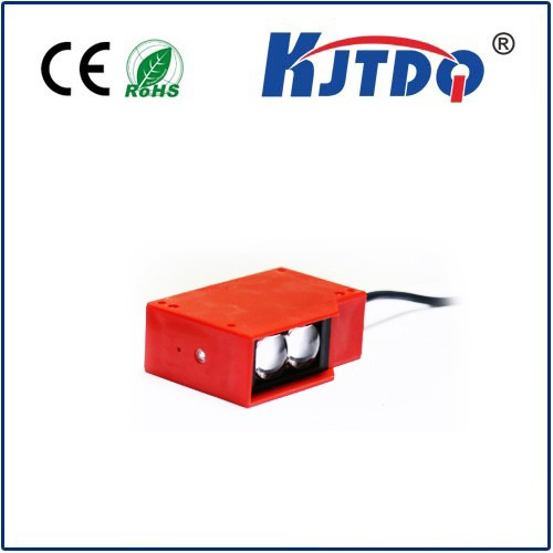
A Mining Laser Rangefinder Sensor operates on the principle of emitting a focused laser beam towards a target. The sensor then calculates the time it takes for the beam to reflect back to the device. This Time-of-Flight (ToF) measurement is processed to deliver an exact distance reading. Unlike traditional mechanical measuring tapes or less advanced optical tools, this method is non-contact, highly accurate, and remarkably fast. In environments where every centimeter counts and conditions are often hazardous, this reliability is invaluable.
The applications within a mining site are extensive and impactful. One of the primary uses is in blast hole drilling. Precise positioning and depth measurement of drill holes are crucial for effective fragmentation of rock. An inaccurate drill pattern can lead to poor blast results, requiring secondary blasting, which wastes explosives, time, and energy. By utilizing a laser rangefinder sensor, operators can ensure each hole is drilled to the exact specified depth and location, optimizing the blast yield and minimizing waste.
Beyond drilling, these sensors are vital for volume calculation and stockpile management. Determining the volume of extracted ore or overburden material is essential for resource accounting, logistics, and financial reporting. Manual estimations are prone to large errors. Laser rangefinders, often mounted on survey equipment or drones, can quickly scan a stockpile from multiple angles. The collected data points create a detailed 3D model, allowing for highly accurate volume calculations. This precision directly translates to better inventory control and more reliable business metrics.
Safety is another domain where this technology proves indispensable. Monitoring highwalls and slopes for stability is a constant concern in open-pit mining. Small movements or deformations can precede a catastrophic collapse. Fixed or portable laser scanning systems can regularly measure the distance to key points on a slope face. By comparing readings over time, surveyors and engineers can detect minute movements early, enabling proactive measures to be taken to protect personnel and equipment. This proactive monitoring is a cornerstone of modern risk management strategies.
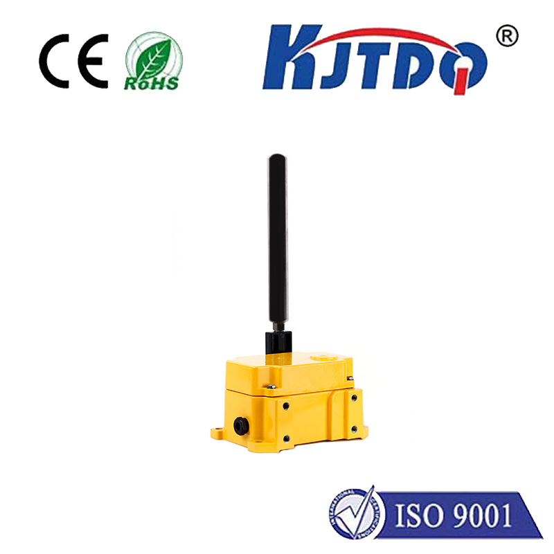
The operational environment in mining is notoriously tough, with dust, vibrations, moisture, and extreme temperatures. Therefore, a Mining Laser Rangefinder Sensor designed for this sector is built to endure. These sensors are typically housed in ruggedized, often IP67-rated or higher, enclosures that protect against dust and water ingress. They are engineered to withstand shocks and vibrations from nearby machinery. Furthermore, advanced models compensate for atmospheric conditions that could affect the laser beam, ensuring consistent performance whether in a dusty pit or a foggy morning.
Integration is key to unlocking the full potential of this technology. Modern mining laser rangefinders are not standalone tools. They are designed to seamlessly integrate with broader digital ecosystems. They can connect via various interfaces to central data acquisition systems, fleet management software, or autonomous vehicle guidance systems. For instance, data from a rangefinder can be fed directly into the control system of an autonomous haul truck, helping it navigate precisely along a haul road or position itself accurately for loading. This connectivity is what drives the industry toward fully integrated, data-driven "smart mines."
The return on investment for deploying these sensors is clear and multifaceted. The direct gains include reduced material waste from precise drilling and blasting, lower costs from avoiding rework, and more accurate resource tracking. Indirect benefits are equally significant: enhanced safety profiles lead to lower insurance premiums and reduced downtime from accidents. Improved data quality supports better decision-making at all levels, from daily operational adjustments to long-term strategic planning. In a competitive industry where margins are tight, these efficiencies contribute substantially to the bottom line.
Looking ahead, the role of the Mining Laser Rangefinder Sensor will only expand. As the industry continues to embrace automation, the demand for reliable, real-time spatial data will grow. Future iterations may feature even longer ranges, higher data acquisition speeds, and more sophisticated onboard processing powered by edge computing. Their integration with LiDAR systems, drones, and IoT networks will create ever-more-comprehensive digital twins of mining operations, allowing for simulation, optimization, and remote oversight like never before.
In conclusion, the Mining Laser Rangefinder Sensor is far more than a simple measuring tool. It is a critical enabler of precision, safety, and digital transformation in the mining industry. By providing accurate, reliable, and instant distance data under the most challenging conditions, it empowers companies to operate smarter, safer, and more efficiently. For any operation committed to modernizing its practices and securing a competitive edge, investing in this technology is not an option but a strategic necessity for sustainable and profitable growth.