
check

check

check

check

check

check

Application Context:
In AGVs, AMRs, and mobile service robots, obstacle avoidance is far more complex than simply spotting an object in front. In dynamic environments featuring moving personnel, temporary pallet staging, and aisle crossings, mobile platforms need continuous, real-time spatial distance data to govern smooth deceleration, steering, emergency stops, and path re-planning.
Pulsed TOF × 270° Horizontal Scan × 10-Meter Range
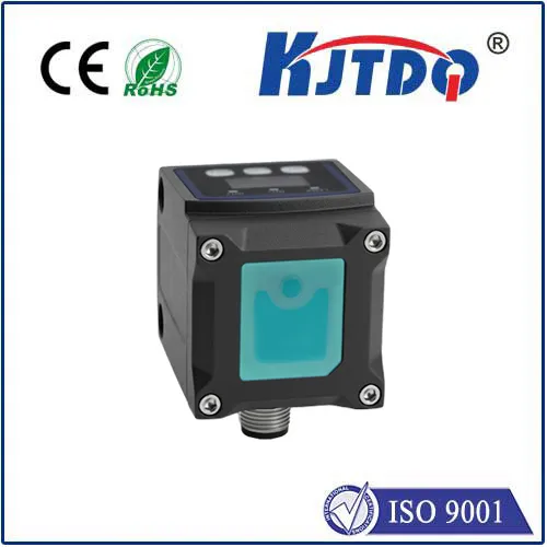
Engineered for these dynamic navigation demands, the KJT-LR10 Series Single-Line Obstacle-Avoidance LiDAR pairs pulsed Time-of-Flight (TOF) ranging with a 270° horizontal scanning architecture, delivering 2D spatial awareness for robotics, collision avoidance, and industrial automation.
Utilizing an internal rotating-mirror scanning mechanism, the LR10 achieves a 270° horizontal field of view (covering ±135° across the front of the vehicle). A wider forward sensing sector allows mobile equipment to detect personnel, racking, cross-traffic, and sudden obstacles much earlier.
$\ge 4\text{ m}$ @ 10% reflectivity target
$\ge 10\text{ m}$ @ 70% reflectivity target
Mobile equipment requires continuous, low-latency distance profiling rather than simple binary "obstacle / clear" switching. The LR10 series offers solid fundamental specifications:
Ranging Principle: Pulsed TOF
Scanning Frequency: 25 Hz
Angular Resolution: 0.5°
Response Time: 40 ms
For mobile robots, sensors must not only measure accurately, but also fit into increasingly compact chassis designs. Measuring approximately $50 \times 50 \times 72\text{ mm}$, the LR10’s compact footprint minimizes space consumption within AGVs, AMRs, and compact automated machinery.
Compact Dimensions: Minimizes chassis footprint, easing mechanical integration;
Rotating Mirror Design: Shields optical components and minimizes the impact of mechanical vibration on scanning consistency;
Brushless Motor Drive: Eliminates brush wear, ensuring long-term operational stability for 24/7 scanning.
In typical AGV / AMR operational flows, the LiDAR continuously scans the surrounding environment, outputting obstacle distance and angular coordinate arrays to the master navigation controller to execute speed curves, detours, stops, or route recalculations:
Normal Travel ➔ Scan Surroundings ➔ Identify Obstacle ➔ Controller Evaluation ➔ Decelerate / Steer / Stop ➔ Resume Operation Once Path Clears
Target Applications: AGV / AMR safety obstacle avoidance, service robot autonomous navigation, mobile equipment path planning, and industrial automated safety zone monitoring.