
check

check

check

check
check
check
check
check

check

check
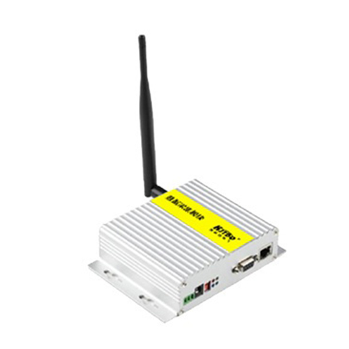
In today's fast-paced world of construction, surveying, forestry, and even sports, the demand for quick, accurate, and reliable distance measurement has never been higher. Enter the automatic laser rangefinder sensor, a sophisticated piece of technology that is quietly transforming how professionals and enthusiasts approach tasks requiring precise spatial data. Unlike traditional measuring tapes or manual optical rangefinders, these advanced sensors offer a blend of speed, accuracy, and automation that was once the domain of high-end industrial equipment.
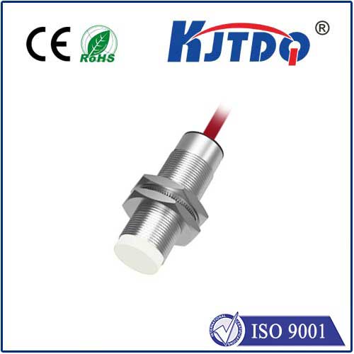
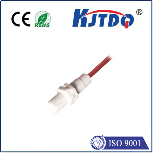
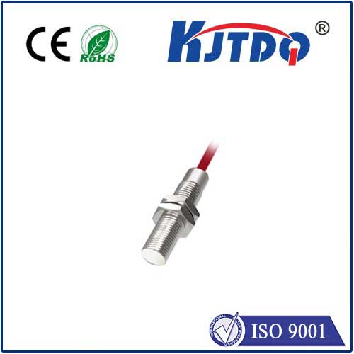
At its core, an automatic laser rangefinder sensor operates on a simple yet powerful principle: time-of-flight measurement. The device emits a focused pulse of laser light towards a target. This light reflects off the surface and returns to a receiver within the sensor. By precisely calculating the time it takes for the laser pulse to complete this round trip and using the constant speed of light, the sensor's internal processor instantly computes the exact distance. The "automatic" aspect is key; modern sensors handle this entire process—target acquisition, measurement, calculation, and data output—with minimal user intervention. Many models feature continuous measurement modes, area and volume calculations, and even Bluetooth connectivity to sync data directly with smartphones or tablets for on-site documentation.
The applications for this technology are vast and growing. In construction and civil engineering, professionals use automatic laser rangefinders for everything from initial site surveys and foundation layout to checking building dimensions and verifying floor levels. The ability to take measurements across long distances or to inaccessible points—like the height of a building facade or the width of a ravine—saves immense time and enhances safety by reducing the need for physical access. Forestry managers utilize them to estimate tree height and stand density, while real estate agents quickly document room dimensions for property listings. In sports like golf or hunting, compact handheld versions provide instant distance-to-target readings, improving performance and planning.
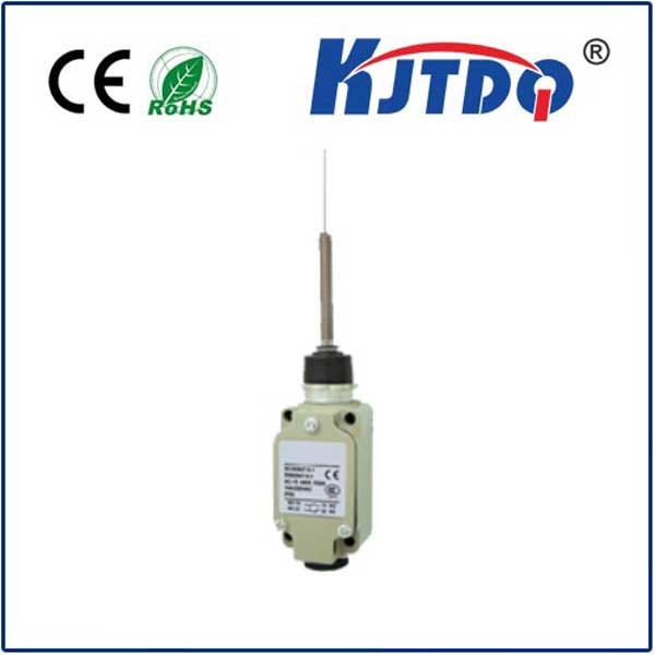
One of the most significant advantages of the automatic laser rangefinder sensor is its remarkable accuracy. High-quality models can achieve accuracies within ±1.5 millimeters over distances of up to 100 meters or more, depending on environmental conditions and target reflectivity. This level of precision is crucial for tasks where small errors can lead to costly rework or structural issues. Furthermore, these devices are designed for rugged field use. They are often housed in robust, water- and dust-resistant casings, with intuitive interfaces featuring backlit displays for visibility in various lighting conditions. Battery life is typically extensive, supporting thousands of measurements on a single charge or set of batteries.
When selecting an automatic laser rangefinder sensor, several factors should be considered. The maximum measuring range is paramount; choose a model that exceeds your typical working distances. Measurement accuracy and the unit's tolerance are critical for technical applications. Features like a digital inclinometer, which allows for height calculations without direct line-of-sight to the top of an object, add tremendous functionality. Consider also the data management capabilities—does it store measurements, and can it export them seamlessly to other software? The ergonomics, display clarity, and overall durability are also essential for daily professional use.
Looking ahead, the integration of automatic laser rangefinder sensors with other technologies is set to deepen. We are already seeing them become standard components in robotic total stations, autonomous vehicles for obstacle detection, and augmented reality (AR) systems. As the technology matures, we can expect sensors to become even smaller, more energy-efficient, and more affordable, bringing high-precision measurement capabilities to a broader range of applications and users. The future points towards fully networked job sites where measurement data from these sensors flows directly into Building Information Modeling (BIM) systems, creating a seamless digital workflow from field measurement to final construction.
In conclusion, the automatic laser rangefinder sensor is far more than a simple distance-measuring tool. It represents a fundamental shift towards digital, automated, and highly accurate data capture in the physical world. By eliminating guesswork, reducing human error, and dramatically speeding up measurement processes, it empowers professionals across numerous industries to work smarter, safer, and with greater confidence. Whether you are laying out a complex architectural project, managing a forest, or simply trying to improve your golf game, this technology provides the precise, instant data needed to make better decisions and achieve superior outcomes.