
check

check

check

check
check
check
check
check

check

check
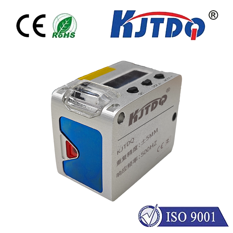
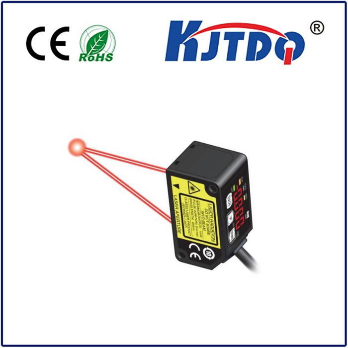
In today's fast-paced technological landscape, the demand for accurate and reliable distance measurement has never been higher. From construction sites and surveying to autonomous vehicles and smart manufacturing, the ability to precisely determine range is a cornerstone of modern engineering and innovation. At the heart of this capability lies a critical component: the laser rangefinder sensor. This sophisticated device utilizes laser technology to calculate distances with remarkable accuracy, often within millimeters, over considerable ranges. But what exactly makes this technology so indispensable, and how does it function in real-world applications?
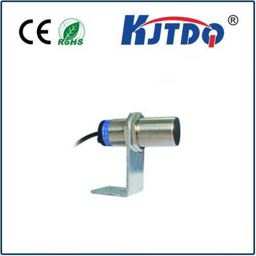
A laser rangefinder sensor operates on a fundamental principle known as time-of-flight (ToF). It emits a focused pulse of laser light toward a target. This pulse travels at the constant speed of light, reflects off the target, and returns to a detector within the sensor. By precisely measuring the time interval between the emission and the detection of the reflected pulse, the sensor's internal processor can calculate the distance to the target with exceptional precision. This method is non-contact, meaning it can measure objects without physical interaction, which is crucial for delicate surfaces, hazardous environments, or moving targets.
The applications of laser rangefinder sensors are vast and continually expanding. In the construction and civil engineering sectors, these sensors are integral to total stations and handheld devices used for land surveying, building layout, and volume calculations. They ensure structures are built to exact specifications, saving time and reducing costly errors. In the realm of robotics and automation, laser sensors provide essential environmental perception. Autonomous mobile robots (AMRs) and automated guided vehicles (AGVs) rely on them for navigation, obstacle avoidance, and spatial mapping, enabling safe and efficient operation in dynamic warehouses and factories.
Furthermore, the automotive industry is undergoing a revolution with the advent of advanced driver-assistance systems (ADAS) and self-driving cars. Laser rangefinder sensors, particularly in the form of LiDAR (Light Detection and Ranging) systems, create high-resolution 3D maps of the vehicle's surroundings. This allows the vehicle's computer to identify pedestrians, other vehicles, and road boundaries, forming a critical layer of perception for safety and autonomous decision-making. Beyond terrestrial uses, these sensors are vital in forestry for measuring tree height and canopy density, in sports for tracking performance metrics like golf shot distance, and even in consumer electronics for camera autofocus and augmented reality experiences.
When selecting a laser rangefinder sensor, several key specifications must be considered to match the device to its intended use. The measuring range defines the minimum and maximum distances the sensor can accurately cover. Accuracy and resolution indicate how close the measurement is to the true value and the smallest detectable change in distance, respectively. The laser's wavelength, often in the infrared spectrum for eye safety and performance, affects its behavior in different environmental conditions. Factors like target reflectivity, ambient light, and atmospheric conditions (fog, rain) can influence performance, which is why high-quality sensors incorporate advanced signal processing algorithms to filter out noise and ensure reliable readings.
The evolution of laser rangefinder technology is closely tied to advancements in photonics, microelectronics, and computational power. Modern sensors are becoming smaller, more energy-efficient, and more affordable, opening doors to new applications. The integration of these sensors with Internet of Things (IoT) platforms and artificial intelligence for data analysis is creating smarter, more responsive systems. For instance, in smart agriculture, sensors mounted on drones can measure crop health and topography, enabling precise irrigation and fertilization.
Despite their robustness, practical deployment requires careful consideration. Proper alignment and calibration are essential for optimal accuracy. Understanding the limitations, such as reduced performance on highly reflective or absorbent surfaces, is crucial for system design. Regular maintenance ensures long-term reliability. As industries continue to push the boundaries of automation, safety, and efficiency, the laser rangefinder sensor remains a pivotal enabling technology, transforming raw data into actionable spatial intelligence. Its role in shaping a more precise and automated future is undeniable, proving that sometimes, the most powerful insights come from simply measuring the space between points with light.