
check

check

check

check
check
check
check
check

check

check
In the realm of precision measurement and spatial awareness, two technologies stand out for their transformative impact across diverse industries: the laser rangefinder sensor and Lidar (Light Detection and Ranging). While often mentioned in the same breath, they serve distinct yet sometimes overlapping purposes, driving innovation from construction sites to autonomous vehicles.
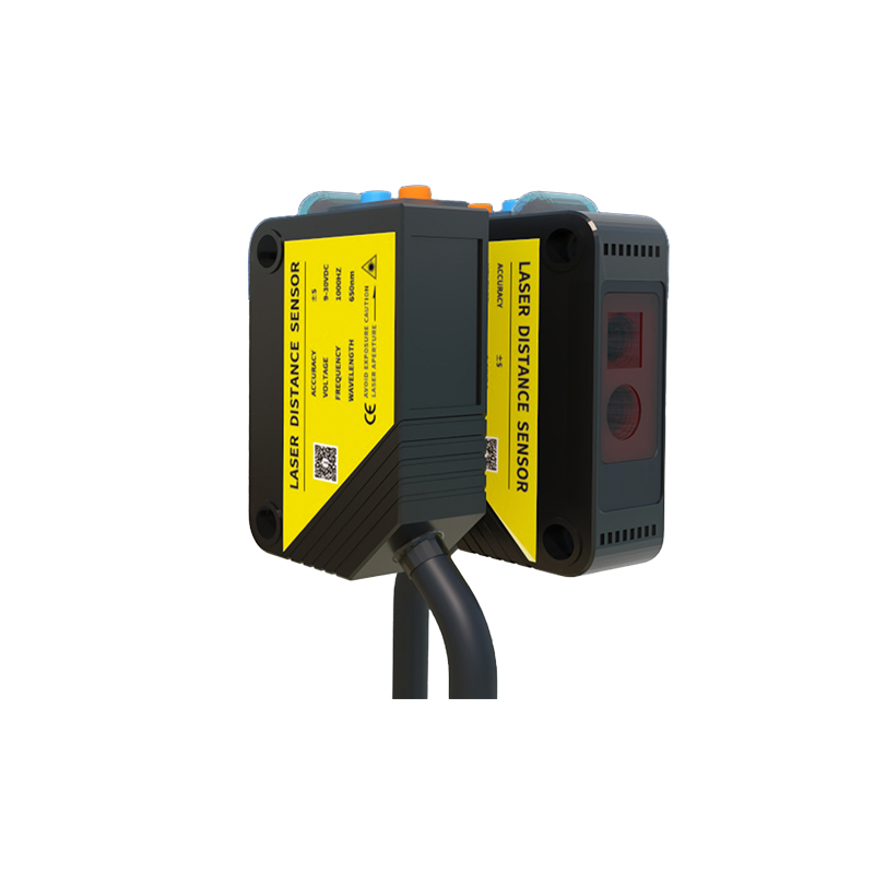
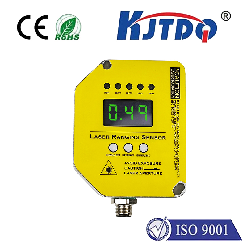
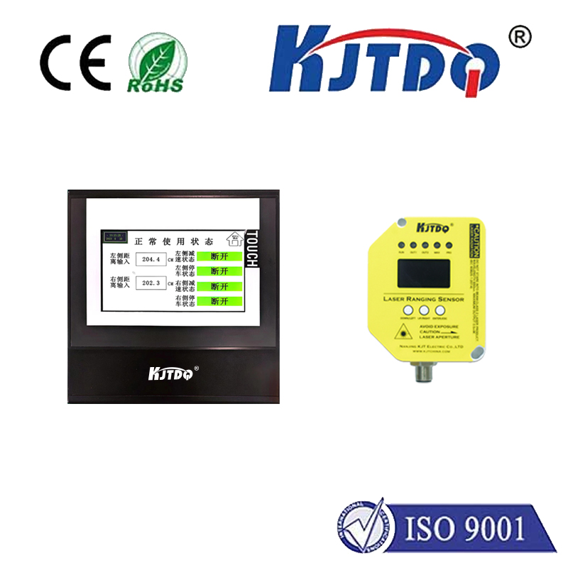
A laser rangefinder sensor is a focused tool designed primarily for measuring distance. It operates by emitting a laser pulse towards a target and calculating the time it takes for the reflection to return. This time-of-flight principle allows for highly accurate distance readings, often within millimeters. The applications are remarkably practical and widespread. Surveyors use them to map land quickly, golfers rely on them to gauge distance to the flag, and forestry professionals employ them to estimate tree height. In the construction and renovation sector, these sensors are indispensable for tasks like measuring room dimensions, aligning structures, or calculating material requirements with speed and precision that tape measures cannot match. Their strength lies in their simplicity, portability, and ability to deliver a single, critical data point: exact distance.
Lidar, on the other hand, represents a more complex evolution of this basic principle. Instead of a single beam measuring one point, Lidar systems emit thousands, even millions, of laser pulses per second. By scanning these pulses across a field of view and measuring the return time for each one, Lidar creates a rich, high-resolution three-dimensional point cloud map of the surrounding environment. It doesn't just measure distance to one object; it maps the shape, contour, and depth of everything in its path. This capability to generate real-time 3D models is revolutionary.
The most prominent application pushing Lidar into the spotlight is undoubtedly autonomous driving. Self-driving cars depend on Lidar as a primary "eye" to perceive the world in meticulous detail. It identifies pedestrians, cyclists, other vehicles, and road boundaries with high accuracy, regardless of lighting conditions, complementing camera and radar systems. Beyond automotive, Lidar is transforming topography and archaeology, enabling the discovery of hidden structures beneath forest canopies. It is used in agriculture for monitoring crop health and optimizing yields, in robotics for navigation and object manipulation, and in urban planning for creating detailed digital twins of cities.
The synergy between a basic laser rangefinder sensor and a full Lidar system is also noteworthy. The core technology—precision distance measurement via laser time-of-flight—is the same. One can think of a rangefinder as a single-pixel device and Lidar as a megapixel camera of distance. In some integrated systems, simpler rangefinder sensors are used for specific, targeted measurements alongside broader Lidar scanning.
Choosing between the two technologies hinges entirely on the application's needs. If the requirement is for fast, accurate, single-point distance measurements in a relatively uncluttered environment, a laser rangefinder sensor is the efficient, cost-effective choice. Its operation is straightforward, and devices are widely accessible. However, if the project demands comprehensive environmental mapping, 3D modeling, or object detection and recognition within a complex space, then Lidar is the necessary and powerful solution. The trade-off comes in complexity, data processing requirements, and cost, though Lidar technology is becoming increasingly compact and affordable.
As these technologies advance, we see trends toward greater miniaturization, enhanced accuracy, and reduced power consumption. Solid-state Lidar, which has no moving mechanical parts, is making the technology more robust and suitable for mass-market applications. Meanwhile, laser rangefinders are being integrated into more consumer devices, from smartphones to smart home tools.
In conclusion, both the laser rangefinder sensor and Lidar are foundational to the modern data-driven world. The laser rangefinder remains the workhorse for direct distance measurement, a tool of immense practical utility. Lidar has emerged as the visionary technology, capturing the world in three dimensions and enabling machines to interact with their environment intelligently. Together, they form the backbone of precision measurement, empowering professionals and automated systems to see, measure, and understand space with unprecedented clarity and accuracy, shaping a safer and more efficient future.