
check

check

check

check
check
check
check
check

check

check
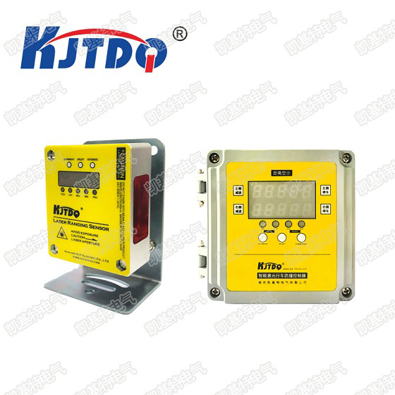
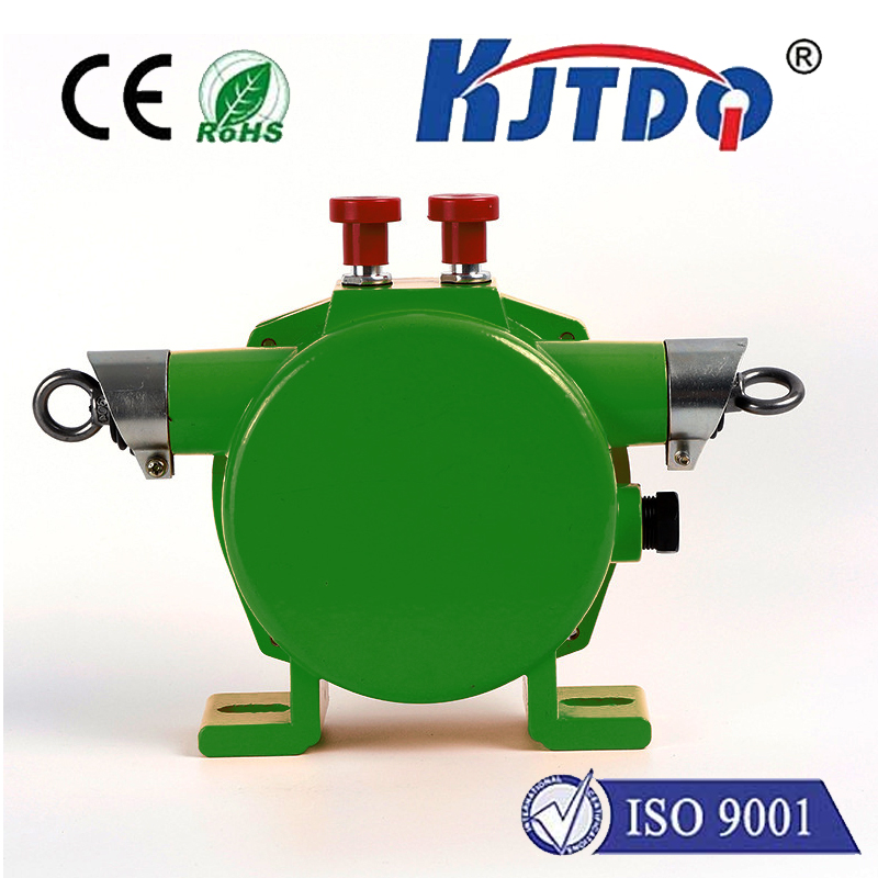
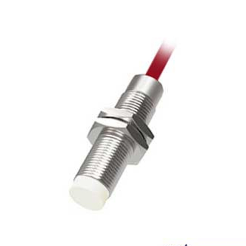
LiDAR sensors have emerged as transformative tools across diverse sectors, fundamentally altering how we perceive and interact with the physical world. Unlike traditional optical cameras or radar, LiDAR (Light Detection and Ranging) operates by emitting rapid pulses of laser light and measuring the time it takes for each pulse to reflect back from surrounding objects. This process, performed millions of times per second, generates precise, high-resolution three-dimensional point cloud data, creating a detailed digital map of the environment.
The core mechanism involves a laser emitter, a sensitive scanner, and a specialized photodetector. The laser projects near-infrared light waves, which are harmless to the human eye. As these light pulses encounter objects—from buildings and trees to vehicles and pedestrians—they bounce back. The sensor's receiver captures these returning signals with exceptional accuracy. By calculating the time difference between emission and reception, the system determines the exact distance to each point. Advanced onboard processors then assemble these countless distance measurements into a comprehensive 3D model in real-time.
This capability has found profound applications in autonomous vehicles. Here, LiDAR sensors act as the primary eyes for self-driving cars, providing an uninterrupted, 360-degree view. They accurately detect lane markings, road curvature, traffic signs, and the precise position and speed of other road users, even in challenging low-light or adverse weather conditions. This rich environmental awareness is critical for making split-second navigation and safety decisions, forming a reliable layer in the vehicle's sensor fusion system alongside cameras and radar.
Beyond automotive, the impact is equally significant in other fields. In urban planning and construction, LiDAR mounted on drones or aircraft conducts aerial surveys, creating highly accurate topographic maps and digital twins of cities. This data aids in infrastructure development, monitoring construction progress, and managing land resources. The agricultural sector utilizes LiDAR for precision farming, where it assesses crop health, monitors plant height and density, and helps optimize irrigation and pesticide use, leading to increased yields and sustainable practices.
Robotics and industrial automation heavily rely on LiDAR for navigation and object manipulation. Warehouse robots use it to map their surroundings and navigate complex storage layouts efficiently. In manufacturing, LiDAR-guided systems ensure precise assembly and quality control. Furthermore, environmental scientists employ LiDAR to monitor deforestation, measure glacier thickness, and model flood plains, providing invaluable data for climate research and conservation efforts.
The evolution of LiDAR technology focuses on enhancing performance while reducing size, cost, and power consumption. Solid-state LiDAR, which has no moving parts, offers greater durability and reliability for mass-market applications like consumer vehicles. Innovations in beam-steering and receiver sensitivity continue to push the boundaries of range and resolution. As these advancements progress, integration with other sensing modalities and artificial intelligence for smarter data interpretation will unlock even more sophisticated applications.
In essence, the LiDAR sensor is more than just a measuring device; it is a cornerstone of the data-driven future. By delivering unparalleled depth perception and spatial awareness, it empowers machines to understand and navigate our world with a precision once thought impossible, driving innovation from the factory floor to the open road and beyond.