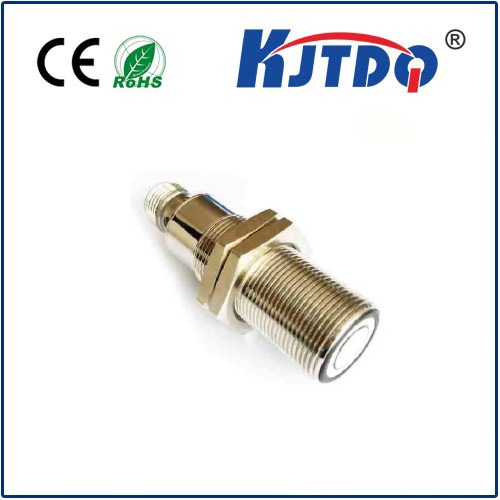
laser altimeter sensor
- time:2025-08-27 15:50:21
- Click:0
Laser Altimeter Sensors: Pinpointing Earth’s Surface from Above
Imagine painting a landscape with light, measuring the rise and fall of mountains, the depth of ocean trenches, or even the changing shape of ice caps – all without physical contact. That’s the remarkable reality enabled by laser altimeter sensors. These sophisticated instruments represent a cornerstone of modern geospatial science, providing unparalleled precision in measuring distance from an airborne or spaceborne platform down to the Earth’s surface or other planetary bodies. Understanding how laser altimeters work and where they are applied unlocks a world of critical environmental monitoring and topographic mapping capabilities.
At its core, a laser altimeter sensor operates on a relatively simple principle: emit a pulse of laser light and measure the time it takes for that pulse to travel to a target and reflect back to the sensor. This principle, known as Time-of-Flight (ToF) ranging, is executed with incredible sophistication. The sensor fires ultrashort, intense bursts of laser light – typically in the near-infrared spectrum for atmospheric penetration. An extremely sensitive receiver detects the faint return signal (echo) reflected from the surface. By precisely timing the interval between pulse emission and echo reception, and knowing the speed of light, the distance (or range) is calculated with astonishing accuracy, often down to centimeters.

Laser altimeters fall into two primary technological categories based on their pulse structure:
- Discrete-Return Systems: These are the workhorses for generating precise elevation models. They emit a single, powerful pulse and detect one or several distinct returns (e.g., tree canopy top, ground level). Systems like the Geoscience Laser Altimeter System (GLAS) on ICESat utilize this method.
- Full-Waveform Systems: Representing an advancement, these systems capture the entire shape of the reflected laser pulse as it interacts with complex surfaces like dense forests or buildings. This provides a detailed vertical profile of the reflecting surfaces within the laser footprint. NASA’s GEDI (Global Ecosystem Dynamics Investigation) instrument exemplifies this powerful approach, revolutionizing our understanding of forest structure and carbon storage.
The applications of laser altimeter technology are vast and transformative across numerous fields:
- Precision Topographic Mapping: Creating highly accurate Digital Elevation Models (DEMs) and Digital Surface Models (DSMs) is a fundamental application. Laser altimeter data provides the foundational elevation data used in geological studies, infrastructure planning, flood modeling, and disaster response.
- Cryospheric Science: Monitoring the health of Earth’s frozen regions is critical. Laser altimeters precisely track ice sheet elevation changes, revealing thinning or thickening over vast areas like Greenland and Antarctica. They measure sea ice freeboard (height above water) to infer total thickness and volume, vital for climate models.
- Forestry and Ecosystem Monitoring: Full-waveform systems excel here. Laser altimeter sensors can penetrate forest canopies to measure ground elevation underneath vegetation while simultaneously quantifying canopy height, structure, density, and biomass. This is essential for carbon cycle studies and understanding biodiversity.
- Coastal and Bathymetric Studies: In shallow coastal waters, laser altimeters (specifically airborne bathymetric lidar) can measure both land topography and underwater bathymetry by utilizing different wavelengths to penetrate water. This supports coastal zone management, habitat mapping, and navigation safety.
- Planetary Exploration: Laser altimeter sensors are indispensable spacecraft payloads. Missions like MOLA (Mars Orbiter Laser Altimeter) on Mars Global Surveyor and LOLA (Lunar Orbiter Laser Altimeter) on LRO have meticulously mapped the topography of Mars and the Moon, revealing impact craters, volcanoes, valleys, and aiding landing site selection.
- Hydrology: Measuring water surface heights in rivers, lakes, reservoirs, and even ocean dynamic topography provides crucial data for understanding water storage, flow rates, and sea level variations.
- Snowpack Monitoring: Tracking snow depth and water equivalent in mountainous regions is vital for water resource management and flood prediction. Laser altimeters provide large-scale, repeatable measurements difficult to obtain by other means.
Compared to traditional surveying or photogrammetry, laser altimeter sensors offer significant advantages:
- Unmatched Accuracy: Capable of sub-decimeter vertical precision under optimal conditions.
- Remarkable Speed and Coverage: Able to map vast, remote, or inaccessible areas quickly from aircraft or satellites.
- Penetration Capability: Ability to “see” the ground beneath vegetation cover (with appropriate wavelength and sufficient laser energy).
- Direct Measurement: Provides a direct geometric measurement of range, reducing reliance on complex geometric models compared to optical methods.
- All-Weather/Day-Night Operation: Near-infrared lasers can operate effectively regardless of daylight conditions, and often through thin cloud cover, increasing data acquisition opportunities.
The future trajectory of laser altimetry is incredibly promising. We are witnessing the development of single-photon lidar technologies, offering higher resolution and sensitivity from lower power systems suitable for smaller satellites and aircraft. The proliferation of satellite constellations dedicated to Earth observation featuring laser altimeter sensors will dramatically increase data coverage and revisit rates, enabling near-real-time monitoring of dynamic processes like glacier retreat, flood events, and seasonal vegetation changes. Continuous improvements in efficiency and processing algorithms will further unlock the power of these datasets.
From charting the depths of alien worlds to safeguarding our own planet’s vital resources, laser altimeter sensors are sophisticated instruments delivering mission-critical elevation data. Their unique ability to measure distance with pinpoint accuracy across challenging terrains and through vegetation makes them irreplaceable tools for scientists, engineers, and policymakers striving to understand and manage our dynamic Earth system and explore our solar system. The invisible beams of light they emit are painting an ever-clearer picture of the third dimension across countless landscapes.


